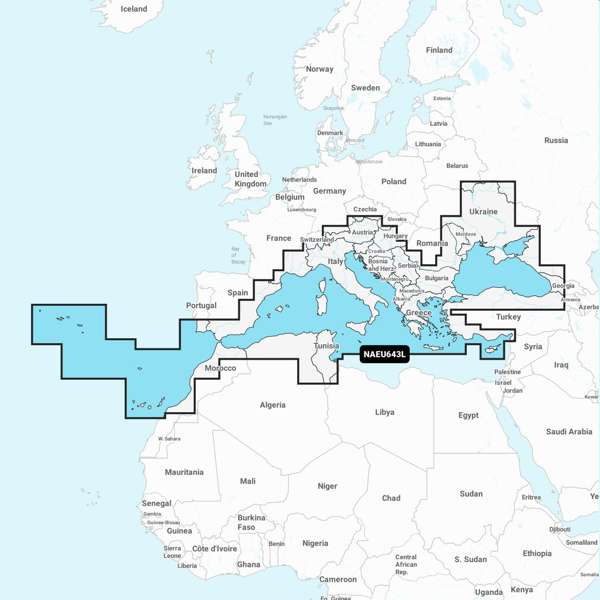
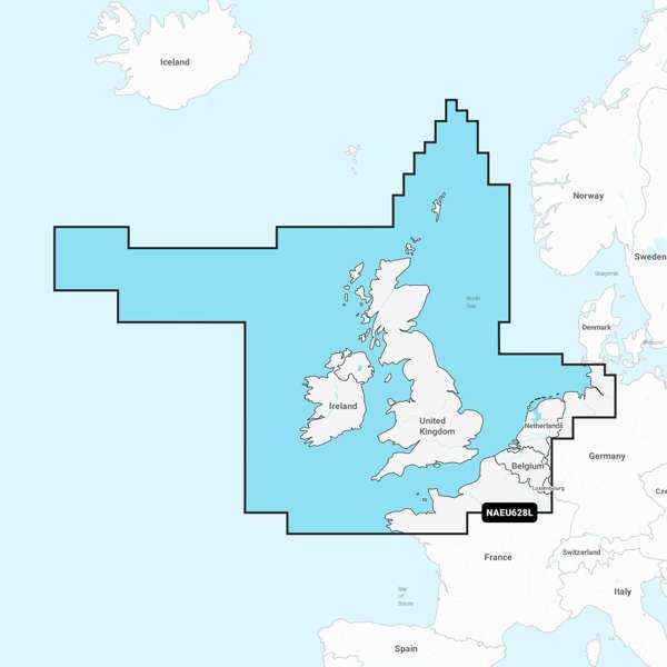
Check Plotter Compatibility Navionics Plus Large - Europe Central & West - EU646L - SD CardA comprehensive, all-in-one solution, Navionics+ charts and maps combine clear, reliable coastal/inland content with advanced guidance features and compatibility with a wide range of chartplotter brands.
Detailed coverage of central and western Europe. Coverage includes the European coast from the Szczecin Lagoon to Monaco; the Azores; Madeira; the Canary Islands; the Balearics; Corsica and Sardinia; Gibraltar, the English Channel; the Channel Islands; the IJsselmeer; the rivers of France, Germany and the Low Countries; Lakes Maggiore, Como, Garda, Geneva, Constance and Balaton.
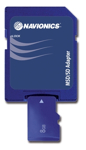
SD Format chart PLEASE ENSURE YOU ARE ORDERING THE CORRECT FORMAT AND AREA FOR YOUR CHART PLOTTER - IF YOU ARE UNSURE, PLEASE CONTACT OUR SALES TEAM. |